

Committees of ICGMRS 2023
The Committee Experts of ICGMRS 2023
| Conference Co-chairs | |
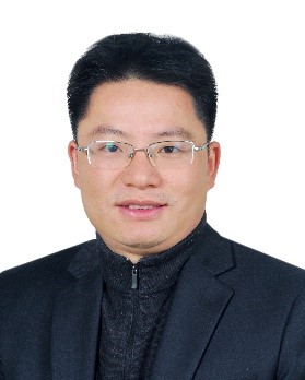 | Prof. Mugen Peng (Winner of the National Science Fund for Distinguished Young Scholars) School of Information and Communication Engineering, Beijing University of Posts and Telecommunications, China Research Area: Intelligent wireless networking theory and key technologies Website: https://teacher.bupt.edu.cn/pengmugen/zh_CN/jsxx/49503/jsxx/ Professor and doctoral supervisor, Dean of the School of Information and Communication Engineering, Deputy Director of the State Key Laboratory of Network and Exchange Technology, Winner of the National Science Fund for Distinguished Young Scholars, Leader of the National High-level Talent Special Support Program. He is currently the director of the Youth Work Committee of the China Communications Society and the vice chairman of the Beijing Science and Technology Talent Research Association. He is mainly engaged in the research of intelligent wireless networking theory and key technologies, and has published more than 100 IEEE journal papers in total, including 20 highly cited papers by ESI and nearly 10000 academic citations by Google. He isthe member of the steering committee or editorial board of IEEE IoT-J, IEEE Com. Mag. and other international top journals. He was rated as one of the world's top cited scientists of CSI in 2019 and the top ten scientific and technological figures at the 2019 Capital Science and Technology Festival, and was awarded the Heinrich Hertz Award of the IEEE Communication Society, and the Outstanding Young Scholar Award of the IEEE Communication Society in the Asia-Pacific Region. |
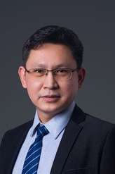 | Prof. Jian Yao School of Remote Sensing and Information Engineering, Wuhan University, China Research Area: Computer vision, artificial intelligence, robotics, high-precision maps, SLAM, navigation and positioning, driverless, 3D technology, VR/AR Website: https://cvrs.whu.edu.cn/jianyao/ Distinguished Professor of "Chutian Scholar" Program of Hubei Province, Discipline Development Leader of the School of Remote Sensing Information Engineering of Wuhan University, a candidate of the National Major Talent Project A-type Youth Project, a member of the Strategic Talent Training Program of Changsha, a high-end talent of the 3551 Entrepreneurship and Innovation Program of Wuhan, a student of the Class 2019 of Baidu Alpha College. A leader of the Artificial Intelligence College of Guangdong Open University, director of the Artificial Intelligence Application Innovation Center of Guangdong Open University, dean of Research Institute of Desauto Technology (Shenzhen) Co., Ltd., Professor of Xiamen University of Aeronautics and Astronautics, etc,. |
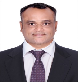 | Prof. Dr. Vijayakumar Varadarajan (EAI Fellow) School of Computer Science and Engineering, The University of New South Wales, Australia Research Area: Computational areas covering grid computing, cloud computing, computer networks, and big data |
| Conference Vice Chairs | |
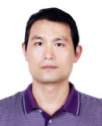 | Prof. Fei Meng (Dean of School of Surveying and Geo-Informatics, Shandong Jianzhu University) Shandong Jianzhu University, China Website: www.sdjzu.edu.cn/cedlxx/info/1149/2178.htm Research Area: Environmental Remote Sensing and GIS Applications Visiting Scholar, University of Maryland, USA Member of the Education Working Committee of the Chinese Society of Geodesy Photogrammetry and Cartography Member of the Education and Popularization of Science Committee of the China Association for Geospatial Industry and Sciences |
 | Prof. Chao Chen Suzhou University of Science and Technology, China Research Area: remote sensing of coastal environments He has published more than 50 papers in academic journals, including National Remote Sensing Bulletin, IJRS, IEEE GRSM, JARS, and ESIN, and in international conferences at home and abroad. More than 30 of his research papers have been indexed by SCI, EI and ISTP. And he has won 3 invention patents and registered 7 software copyrights. In addition, he also serves as an invited reviewer of many famous SCI journals such as Acta Ecologica Sinica, Remote Sensing, Journal of Applied Remote Sensing, IEEE Geoscience and Remote Sensing Magazine. |
| Technical Program Committee | |
| Chairs | |
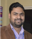 | Prof. Dr. Sandeep Saxena (Life Member ofComputer Society of India & Cryptology Research Society of India, IAASSE Senior Member) Department of Computer Science and Engineering in Greater Noida Institute of Technology, Greater Noida, India Research Area: Cloud computing, Internet, XML,computer network security, cryptography, entropy, formal specification, ontologies (artificial intelligence) , probability, resource allocation ,scheduling, security of data, telecommunication traffic, virtual machines, computer centres, cryptographic protocols, data structures, green computing, power aware computing, relational databases |
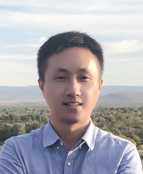 | Assoc. Prof. Tao Chen School of Geophysics and Geomatics, China University of Geosciences, China Research Area: Intelligent representation and calculation of geological information, Geological environment monitoring and evaluation, Geospatial information Website: https://grzy.cug.edu.cn/chentao/zh_CN/index/17066/list/index.htm Secretary of the Party Branch, Department of Geoinformation Science and Technology, China University of Geosciences; Corresponding Reviewer of National Natural Science Foundation of China; Corresponding Reviewer of China Academic Degrees and Graduate Education Development Center (CDGDC), Ministry of Education; Member of the Geological Society of China / China Society of Image and Graphics / Chinese Society for Rock Mechanics & Engineering |
Members (alphabetized by last name) | |
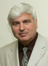 | Assoc. Prof. Dr. Kiril Alexandrov Anguelov Technical University of Sofia, Bulgaria Website:www.iaeg.info/wp-content/uploads/2019/01/Anguelov.pdf Bulgarian expert and practicing geotechnical engineer in engineering geology, Founder and head manager of three geotechnical companies GEOTEHNIKA, BONDYS Ltd. and GEOLOBY Ltd., One of the founders and establishers of the Bulgarian National Group of Engineering Geology, Vice President of IAEG for the Eastern Europe (1990-1994) |
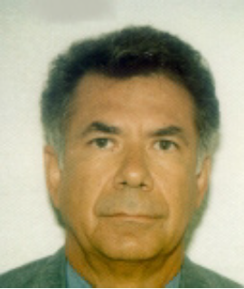 | Prof. Roman Alvarez National Autonomous University of Mexico (UNAM), Mexico Dr Alvarez obtained MsC and PhD degrees from University of California at Berkeley in 1970 and 1972, respectively. He has spent 48 years at the National Autonomous University of Mexico (UNAM) as a Professor and Researcher at the Institute of Applied Mathematics (IIMAS) and the Institute of Geophysics. In the 1989-1977 period he was director of the Institute of Geography. Between 1975-1977 he was Principal Investigator in NASA’s Lunar Sample Program. He has done research in electrical properties of rocks, Tectonics, and volcanic structures. |
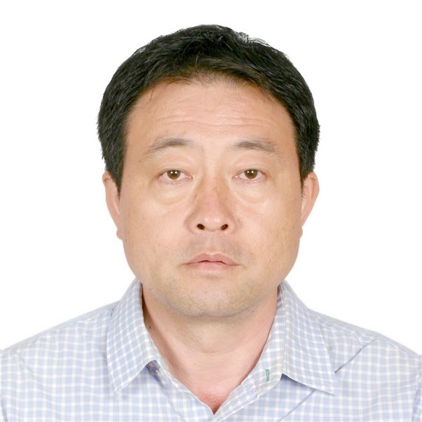 | Prof. Shuisen Chen Guangzhou Institute of Geography, Guangdong Academy of Sciences, University of Chinese Academy of Sciences Research Area: Remote Sensing Big Data and Precision Agriculture Website: https://people.ucas.ac.cn/~0008130?language=en Associate Editor of Frontiers in Environmental Science and Deputy Director of the Academic Committee of the Institute; Deputy Director of Public Laboratory of Guangdong Provincial Geospatial Information Technology and Application / Director of Guangdong Remote Sensing Big Data Application Engineering Technology Research Center. Appointed as Vice Chairman of Agricultural and Rural Geographic Information Working Committee of China Geographic Information Industry Association, doctoral Supervisor in Chinese Academy University of Sciences, Chief Expert of "Remote Sensing Big Data and Precision Agriculture" of Guangdong Modern Agricultural Industry Technology System Innovation Team, Guangdong Province Overseas High-level Talents and is elected as the leader of Nanling Team (Double Carbon Space Big Data) of Shaoguan talent engineering in China. |
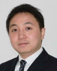 | Prof. Siwei Chen National University of Defense Technology, China Research Area: Radar polarimetry, imaging radar, machine learning, environmental studies Website: https://www.researchgate.net/profile/Si-Wei-Chen Recipient of the IEEE Geoscience and Remote Sensing Society (GRSS) Early Career Award in 2019, the National Natural Science Foundation of China for Excellent Young Scholars in 2021,the Natural Science Foundation of Hunan Province for Distinguished Young Scholars in 2020, the Young Talent of Hunan Province, China, in 2019, the Young Researcher Award from IEEE GRSS-Japan Chapter in 2011, the Best Poster Award from the IET International Radar Conference in 2013, and the Excellent Paper Award from the IET International Radar Conference in 2015. Won the Second Prize of National Science and Technology Progress Award of China in 2021, the First Prize of the Natural Science Award from Hunan Province of China in 2018. He is an Associate Editor of the IEEE Geoscience and Remote Sensing Letters, and an Editorial Board Member of the Geomatics, Natural Hazards and Risk, Journal of Electronics and Information Technology, Journal of Remote Sensing, the Journal of Radars and Journal of Signal Processing. |
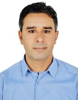 | Prof. Ferid Dhahri Faculty of Science of Gafsa, Tunisia Research Area: Geodynamics, Tectonics, Structural Geology, Sedimentology, Environmental Sciences, Geohazards, Hydrogeology, General geology |
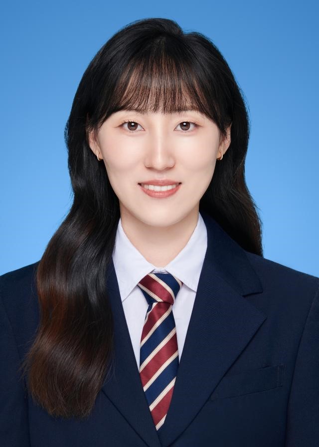 | Assoc. Prof. Yanni Dong China University of Geosciences, China Research Area: Application of Pattern Recognition and Machine Learning in Remote Sensing Image and Geoscience Website: http://grzy.cug.edu.cn/dongyanni/zh_CN/index.htm Dong is currently an associate professor in the School of Geography and Engineering of China University of Geosciences (Wuhan). She was an entrant of “Young Talent Program” of China University of Geosciences and "Xiangjiang Scholars". She has received the "Outstanding Doctoral Dissertation" award from China Society of Image and Graphics (CSIG). She has presided over a number of fund projects such as the Excellent Youth Project, the General Project and the Youth Fund of the National Natural Science Foundation of China. Dong has published papers in IEEE TCybern, IEEE TGRS, ISPRS, and IEEE JSTARS, served as a reviewer for many SCI journals such as IEEE TCybern, TGRS, TIP, TNNLS, ISPRS, PR, and served as a PC/reviewer for international conferences such as ICCV, AAAI, IJCAI, etc. |
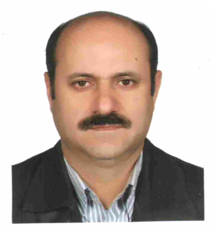 | Asso. Prof. Naser Ebadati Islamic Azad University, Iran Research Area: environmental geology , structural geology |
 | Prof. Vetrimurugan Elumalai University of Zululand, South Africa Research Area: Hydrogeology, Water quality Website:https://www.researchgate.net/profile/Elumalai-Vetrimurugan |
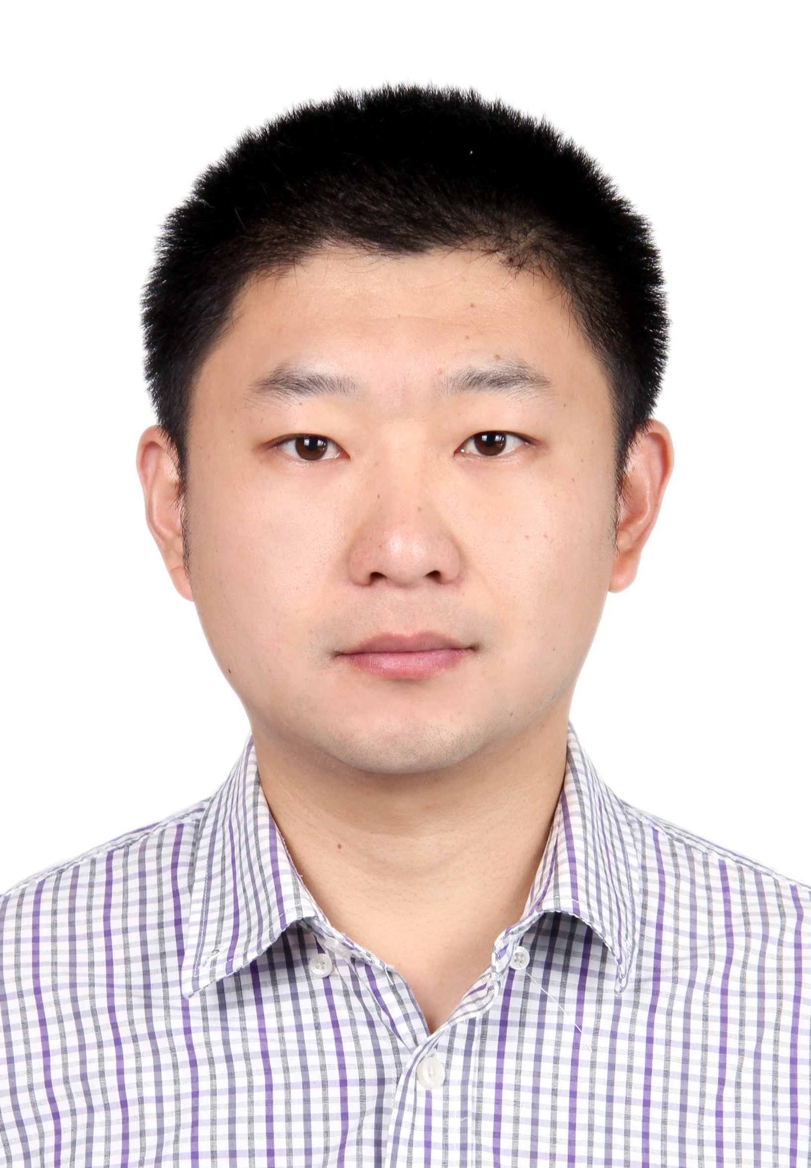 | Prof. Junfu Fan (Vice President of School of Civil and Architecture Engineering) School of Civil and Architecture Engineering, Shandong University of Technology, China Research Area: High-performance Geo-computing, GeoAI Website: https://www.researchgate.net/profile/Junfu-Fan Member of Chinese Geographical Society, member of Shandong Mapping and Geographic Information Society, member of Shandong Remote Sensing Application Technology Association. Received 2 grants from National Natural Science Foundation of China, 1 sub-project of the National Key Research and Development Program, 4 provincial and ministerial projects, 2 open funding project from the LREIS lab. He has published more than 70 papers. |
 | Assoc. Prof. Xiang Gao University of Electronic Science and Technology of China, China Research Area: Wireless communication, marine communication, channel measurement and modeling Website: https://yjsjy.uestc.edu.cn/gmis/jcsjgl/dsfc/dsgrjj/12369 |
 | Assoc. Prof. Shuaidong Jia Department of Military Oceanography and Hydrography & Cartography, Dalian Naval Academy, China Research Area: Hydrographic Surveying and Charting |
 | Dr. Bin Li (Contracted Researcher of Peking University, Sales Director in Beijing Feima Robotics Limited) Peking University/Beijing Feima Robotics Limited, China Research Area: Remote Sensing, 3D modeling, UAV application He has previously worked for NTT DATA, Leica-Geosystems and Trimble, with great experience in multi-nation companies and he is an early scholar engaged in the application and research of lidar technology in China. Participated in many major scientific research projects in China, such as the protection of Dunhuang cultural heritage, earthquake relief in Wenchuan, digital mapping of the Forbidden City, geological disaster assessment in the Three Gorges Reservoir Area, etc., he has published more than forty academic papers and also has acted as specialist for many national and industrial standards. |
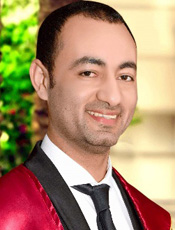 | Asso. Prof. Ahmed E. Radwan Jagiellonian University, Poland Research Area: Earth sciences, petroleum geology, Natural resources, geophysics, geochemistry, sedimentology, applied geosciences Website: https://www.researchgate.net/profile/Ahmed-E-Radwan |
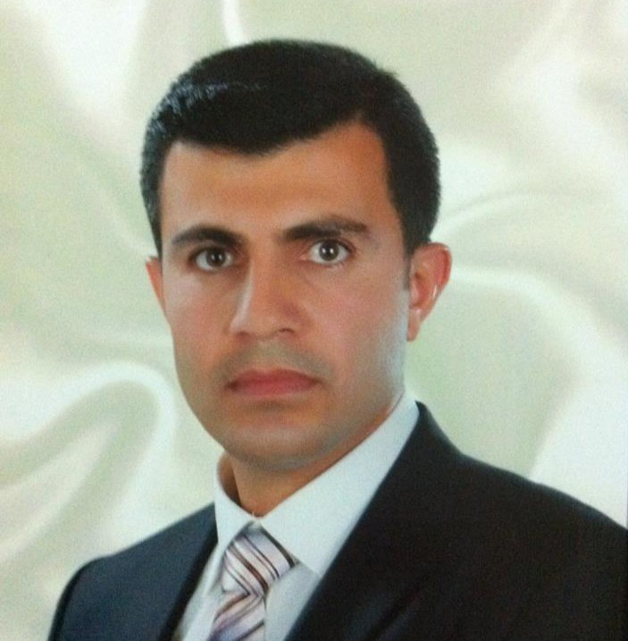 | Assoc. Prof. Azad Rasul Soran University, Iraq (Professional Memberships of GBD Collaborator at Institute for Health Metrics and Evaluation - University of Washington/International Society for Photogrammetry and Remote Sensing/American Society of Photogrammetry and Remote Sensing) Research Area: Photogrammetry and Remote Sensing, Geography,GIS, Climate |
 | Prof. Youcef Smara Houari Boumediene University of Sciences and Technology, Algeria Research Area: Optic and Radar Image Processing and Remote Sensing Website:https://www.researchgate.net/profile/Youcef-Smara He is a responsible for the Image Processing and GIS option of the Doctoral School of Space Technologies and Applications (EDTAS) in partnership with the Algerian Space Agency (ASAL). He is been an expert with the National Geographic Information Council (CNIG) since 1998 and he was a director of the image processing and radiation laboratory between 2009 and 2013. |
 | Prof. Jan Aqa Abdul Satar Kabul Polytechnic University, Afghanistan Research Area: Ground Water Quality, Soil Science, Water and Soil Pollution ,and Engineering geology Website: https://www.researchgate.net/profile/Jan-Aqa-Satar-2 |
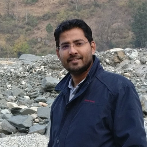 | Assis. Prof. Dharmaveer Singh Symbiosis Institute of Geoinformatics, Symbiosis International University, Pune, India Research Area: Water resources management, water security & economics and climate change & modelling Website: www.researchgate.net/profile/Dharmaveer-Singh Dr. Dharmaveer Singh working as an assistant professor at Symbiosis Institute of Geoinformatics, Symbiosis International University, Pune (India). Between July 2016-May 2018 he was a researcher in National Institute of Hydrology, Roorkee, India. He is leading couple of research projects on climate change and water security. |
 | Prof. Jose A. Sobrino University of Valencia/ Image Processing Laboratory (IPL), Spain Research Area: Remote sensing Website: https://www.uv.es/sobrino/ He is currently a Full Professor with the Earth Physics Department, University of Valencia, Spain, and the Coordinator of the Global Change Unit group. He is a member of the Mission Advisory Group of the Land Surface Temperature Monitoring of the European Space Agency (ESA), a Member of the Scientific Group of the Indian–French TRISHNA mission, the President of Recent Advances in Quantitative Remote Sensing symposiums, Coordinator for the National Earth Observation Network (RNOT) and the field chief editor of Frontiers in Remote Sensing. He was a member of Earth Science Advisory Committee of ESA and Coordinator of the Land Product Validation/Land Surface Temperature and Emissivity Committee on Earth Observations Satellites (CEOS), and the President of the Spanish Association of Remote Sensing, 2013-2022. |
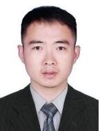 | Assoc. Prof. Chengsheng Yuan Nanjing University of Information Science and Technology, China Research Area: information hiding, multimedia information security, meteorological big data mining and application Website: https://www.researchgate.net/profile/Chengsheng-Yuan In June 2019, he graduated from NUIST, and was co-trained by the UNIVERSITY of WINDSOR, Canada. He is guest editor, workshop chair and editorial board of several journals and conferences. He is also a Postdoctoral Fellow with the University of Windsor. |
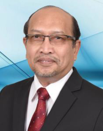 | Assoc. Prof. Sr. Dr. Mohd Zulkifli Bin Mohd Yunus University of Technology Malaysia, Malaysia Research Area: Geographic Information Systems Website: https://people.utm.my/mzul/ An evaluator panel for the Malaysian Qualifications Agency (MQA), a professional membership of the Royal Institution of Surveyors Malaysia (RISM), professional membership of the Institution of Geospatial and Remote Sensing Malaysia (IGRSM) and professional membership of the Malaysia Board of Technologist (MBOT). |
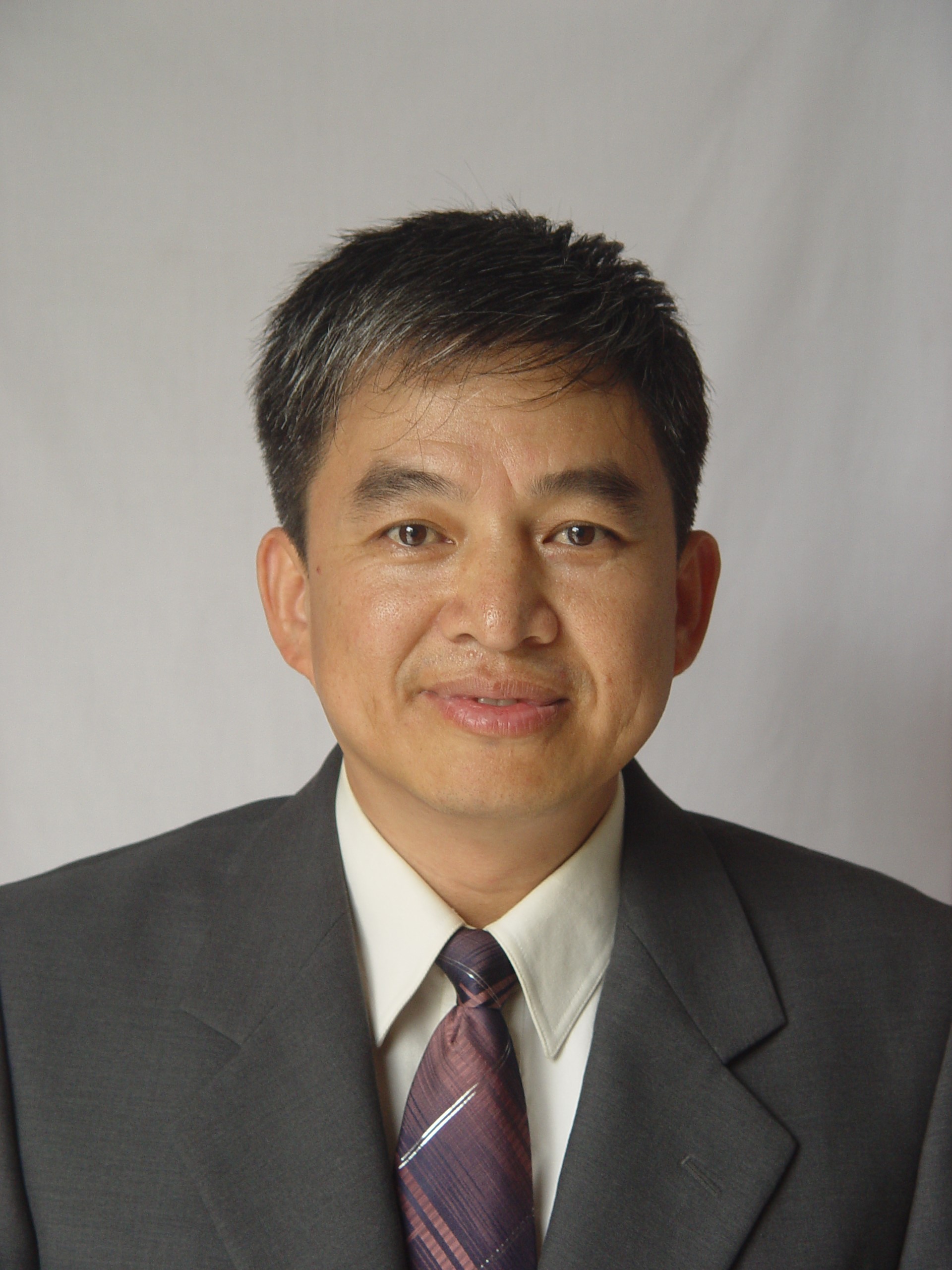 | Qing Zhang (Professor Senior Engineer) Center for Hydrogeology and Environmental Geology Survey, China Geological Survey, China Research Area: Geological environment and geological disaster monitoring, Mining geological environment monitoring He has presided over 18 national or provincial level scientific research and geological investigation projects. He has published more than 20 papers as the first author, 3 monographs, and 12 national patents. He has received 1 National Science and Technology Progress Second Prize (ranked 5th), 3 Provincial and Ministerial Science and Technology Achievements Second Prize (ranked 2nd, 3rd, 5th), 2 Third Prize (ranked 2nd, 3rd), and 2 Geological Science and Technology Awards of China Geological Survey Second Prize (ranked 1st). |
| Organizing Committee | |
| Chairs | |
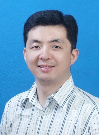 | Prof. Yi Wang School of Geophysics and Geomatics, China University of Geosciences, China Research Area: Remote sensing monitoring of geological and ecological environment Geoscience data intelligent processing Website: https://scholar.google.com/citations?user=GXDbvNUAAAAJ&hl=zh-CN In recent years, he has presided over and participated in more than 10 national, provincial and ministerial projects. Also, he published more than 60 international academic journals such as JOH, IJGIS, IEEE TIP, CATENA, and the papers have been cited nearly 2,200 times (Google Scholar), 7 papers were selected as ESI Global Top 1% Highly Cited Papers. In 2019, he was named CUG Outstanding Young Talent. In 2022, He won the Elsevier "Most Cited Paper Award 2021 (2019-2021) ". |
 | Assoc. Prof. Hongming Zhang School of Information and Communication Engineering, Beijing University of Posts and Telecommunications, China Research Area: Integrated communication and networking of air, space and sea He obtained master's and doctor's degrees from the University of Southampton in 2012 and 2017, respectively. He was elected to the 6th Youth Talent Promotion Project of the China Association for Science and Technology, the senior member of the China Communications Society, the member of the China Electronics Society, the member of the editorial board of several SCI journals, and the member of the branch chairman and technical committee of important conferences in the fields of IEEE GLOBECOM, WCNC, VTC, etc. for many times. He presided over and participated in a number of NSFC projects and enterprise cooperation projects, published more than 40 academic papers in core journals and important international conferences at home and abroad, and won the Best Paper Award of Radio Communication Technology Journal and the Best Paper Award of IEEE WCSP Conference as the first author. Now, he is mainly engaged in the research work of the integrated communication and networking of air, space and sea. |
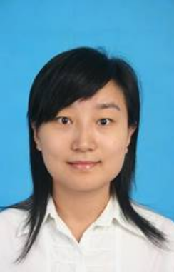 | Assoc. Prof. Jie Li School of Electrical and Electronic Engineering, Hubei University of Technology, China Research Area: Computer vision, digital image processing Website: https://eee.hbut.edu.cn/info/1018/2526.htm |
 | Prof. Chao Chen Suzhou University of Science and Technology, China Research Area: Remote sensing of coastal environments He has published more than 50 papers in academic journals, including National Remote Sensing Bulletin, IJRS, IEEE GRSM, JARS, and ESIN, and in international conferences at home and abroad. More than 30 of his research papers have been indexed by SCI, EI and ISTP. And he has won 3 invention patents and registered 7 software copyrights. In addition, he also serves as an invited reviewer of many famous SCI journals such as Acta Ecologica Sinica, Remote Sensing, Journal of Applied Remote Sensing, IEEE Geoscience and Remote Sensing Magazine. |
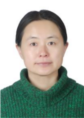 | Prof. Yingjun Sun Shandong Jianzhu University, China Research Area: Application of Remote Sensing and GIS Spatial Information Analysis Technology in Urban Ecological Monitoring and Assessment |
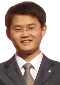 | Prof. Yongzhi Wang Suzhou University of Science and Technology, China Research Area: 3D laser point cloud intelligent processing and application, remote sensing image segmentation and information extraction, geological 3D modelling and virtual geographic environment, 3S integrated application and development |
Members (alphabetized by last name) | |
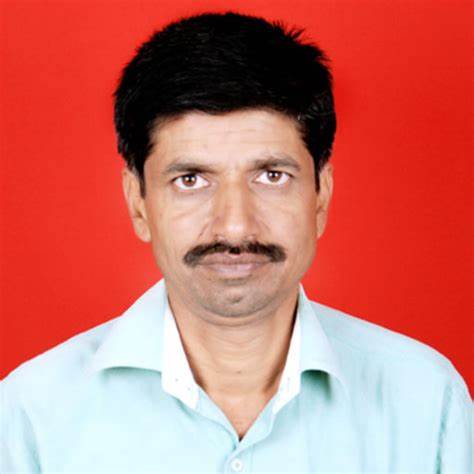 | Prof. Vijay Bhagat Department of Geography, Agasti Arts, Commerce and Dadasaheb Rupwate Science College, Akole, India Research Area: Biogeography, cartography and geodesy and surveying |
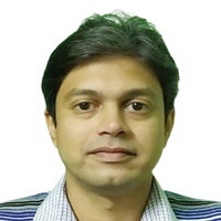 | Assoc. Prof. Dr. Ankan Bhattacharya Mallabhum Institute of Tecnology, India Resear Area: Antenna Engineering, Computational Electromagnetics, Electronic Circuits and Systems, Signal Processing, Microwave Devices and Wireless Communication Technologies |
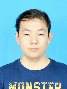 | Xiaoyu Chang (Engineer) The 54th Research Institution of CETC/CETC Key Laboratory of Aerospace Information Applications, China Research Area: Remote sensing image information extraction |
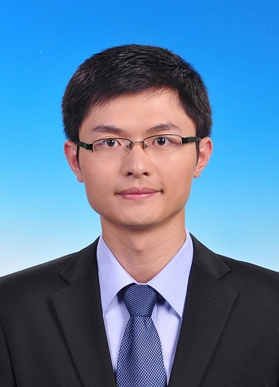 | Assoc. Prof. Heng Dong Wuhan University of Technology, China Research Area: Environmental remote sensing and geographic information modeling Website: http://sree.whut.edu.cn/yjsjy/dsdw/202201/t20220131_868115.shtml |
 | Assoc. Prof. Qingqing He Wuhan University of Technology, China Research Area: Environmental remote sensing, air pollution, geostatistics, artificial intelligence and big data Website: http://sree.whut.edu.cn/yjsjy/dsdw/202201/t20220131_868116.shtml |
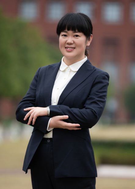 | Assoc. Prof. Li Li Ocean College, Zhejiang University, China Research Area: Coastal ocean dynamics; sediment dynamics; eco-hydrology Website:http://person.zju.edu.cn/lilizju |
 | Xiaoman Li (Researcher) Beijing Institute of Space Mechanics & Electricity, China Research Area: Optical remote sensing technology, point target imaging technology Website: https://xueshu.baidu.com/scholarID/CN-B3H9ZRLK |
 | Juan Liu (Senior Engineer) Sichuan Metallurgical Geological Survey and Design Group Co., Ltd., China Research Area: Geological disaster prevention and control |
 | Prof. Tarun Kumar Lohani Faculty of Hydraulics & Water Resources Engineering, Arba Minch University, Ethiopia Research Area: Mapping, geology, hydrogeology, water resources, disaster management, waste water engineering, environmental engineering |
 | Prof. Dr. Nilanchal Patel Department of Remote Sensing, Birla Institute of Technology Mesra, India Research Area: Landslide hazard zonation, Assessment of forest degradation and fragmentation, Spectral eco-region mapping and characterization, Pattern recognition and image processing, Spectral characterization of water, soil and vegetation characteristics GIS-based landscape pattern analysis through landscape metrics, NPP and BIOMASS estimation of vegetation and crop, Habitat assessment through GIS, Estimation of soil organic carbon content, Urbanization pattern analysis, Vulnerability Analyses of Wetlands, Digital land use and land cover change detection studies, Rainfall-runoff modelling, Spectral classification of satellite data and Thermal remote sensing |
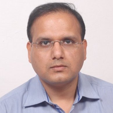 | Assoc. Prof. Dr. Surya Prakash Department of Computer Science and Engineering, School of Engineering, Indian Institute of Technology Indore, India Resear Area: Machine Learning, deep learning, pattern recognition, computer vision, image processing, big data, and 3D point cloud processing Website: http://people.iiti.ac.in/~surya/ |
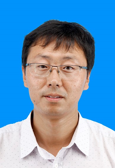 | Assoc. Prof. Guangtong Sun (National Registered Surveyor, Director of the Department of Surveying and Mapping Engineering) Institute of Disaster Prevention, China Research Area: Disaster remote sensing monitoring Website: https://see.cidp.edu.cn/info/1150/1899.htm |
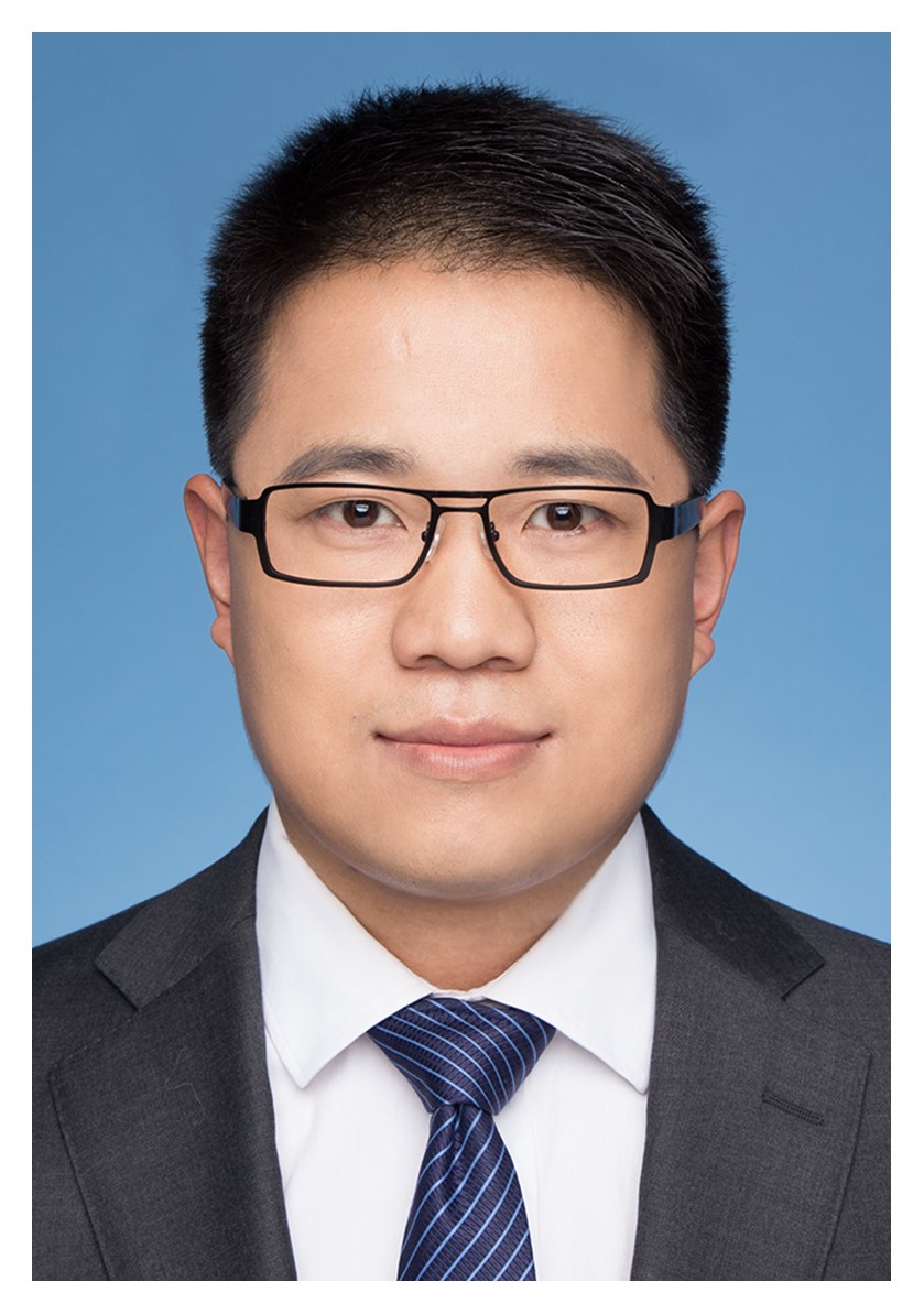 | Assoc. Prof. Panpan Tang Research Center of Big Data technology, Nanhu Laboratory, China Research Area: Remote sensing (synthetic aperture radar -SAR and optical) image processings with deep-learning methods, including image segmentation, classification and change detection |
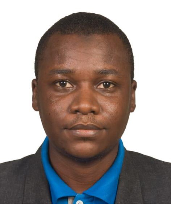 | Mr. /PhD Student Abdulwaheed Adelekan TELLA The Hong Kong University of Science and Technology, Hongkong, China Research Area: Remote Sensing, Geospatial Science, Sustainability, Disaster risk reduction and management, Environmetrics and , Atmospheric Science |
 | Gang Wang (Senior Engineer, Institute Level Expert) The 54th Research Institution of CETC/CETC Key Laboratory of Aerospace Information Applications, China Research Area: Remote sensing target detection and recognition, remote sensing regional scene understanding, remote sensing satellite task planning |
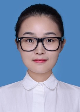 | Min Wang (Senior Engineer, Institute Level Expert) The 54th Research Institution of CETC/CETC Key Laboratory of Aerospace Information Applications, China Research Area: Remote sensing image processing |
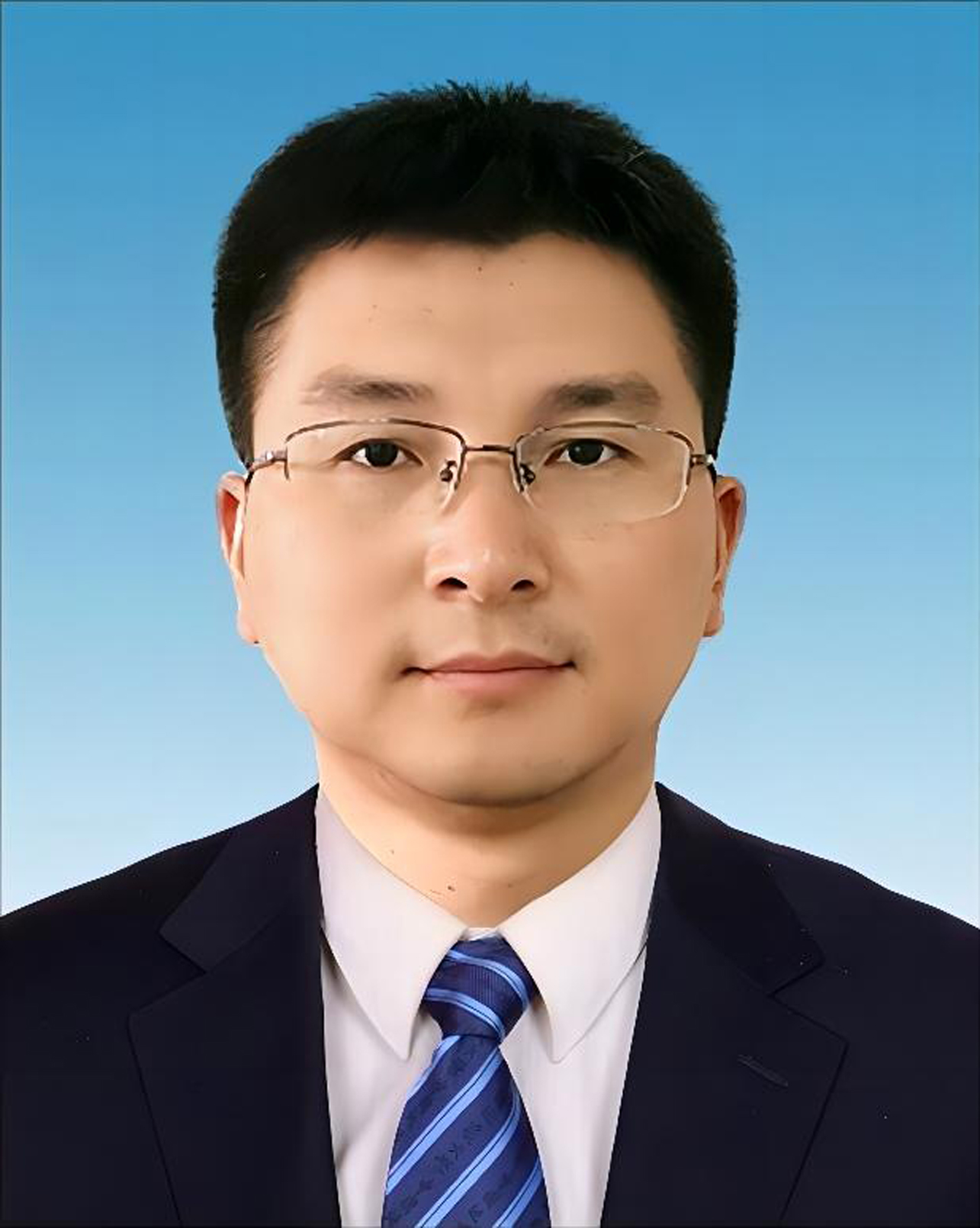 | Xiuyuan Yang (Senior Engineer) Center for Hydrogeology and Environmental Geology Survey, CGS, China Research Area: Geological hazard |
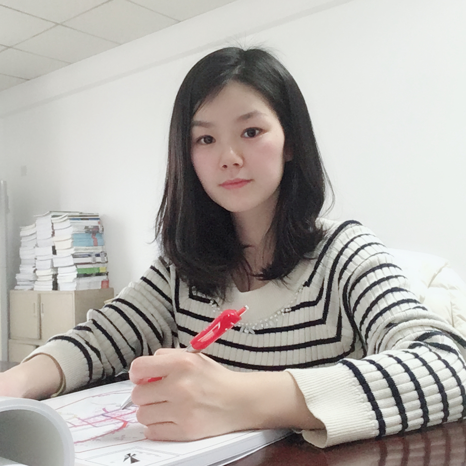 | Assoc. Prof. Chengfang Zhang Wuhan Huaxia University of Technology, China Research Area: Land space planning, village planning, planning management |
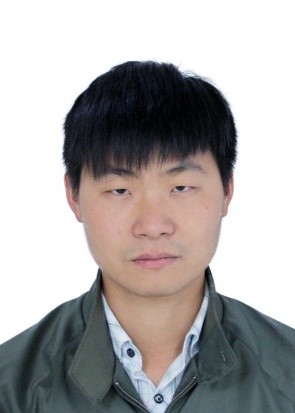 | Xiaolun Zhang (Lecturer) Kunming Metallurgy College, China Research Area: Application of Remote sensing and UAV Surveying Technology |
